How do we create Panospheres?
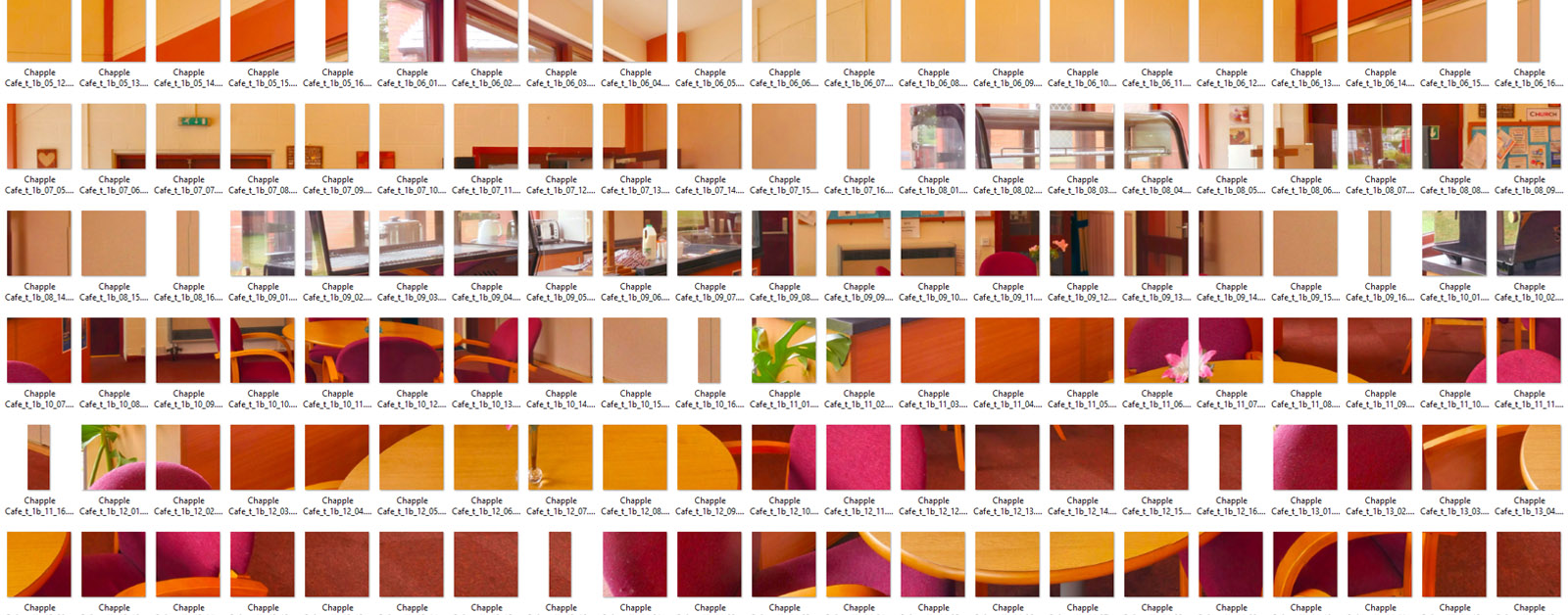
First, we take our tracking camera, a Panasonic GH4 or 5 mounted on a Nodal Ninja automated tracking head and placed it in the centre of our image space. This takes photographs of the space in sections proportional to the finished image resolution. This is quite low, maybe 24 images for Google Street view, but we may take images at 5-degree intervals creating file sizes measured in gigapixels on a higher resolution image.
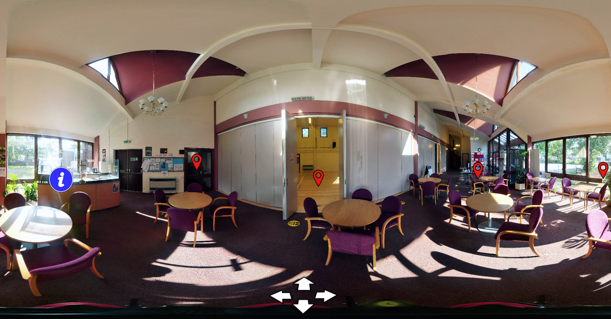
We then combine the images to make a single panoramic image like the one above. Then we can add direction arrows for movement, hotspots to take us to different places and information points. The information point could perhaps be the menu for the day in a restaurant. It’s a link to your website.
The images are then uploaded to our dedicated server from where we can supply you with an embed code for you to include in your website. And if you haven’t got a website we can build that too 😉
Our 360 tracking camera moves around to take a sequence of pictures in rows. Depending on the required resolution we can adjust the amount of shots in the sphere.

The final image is cut into thousands of tiles which speed up the loading time in the dedicated viewer.

